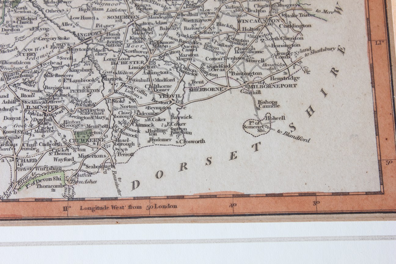
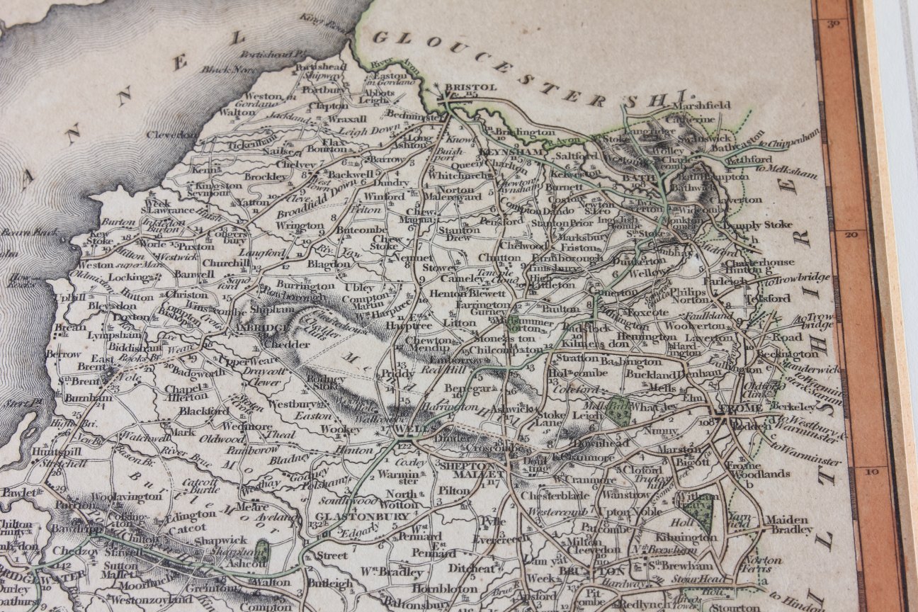
Antique Map of Somersetshire John Cary C1793. Old Bath Bristol Wells Somerset
SOLD
Missed this item? Please contact us to add similar to your wanted list.
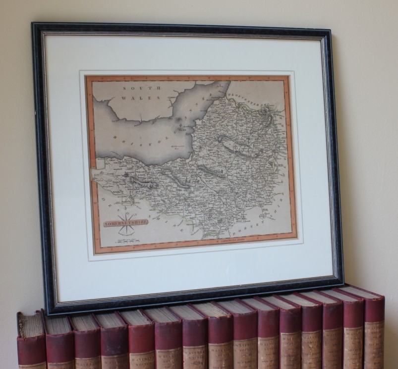
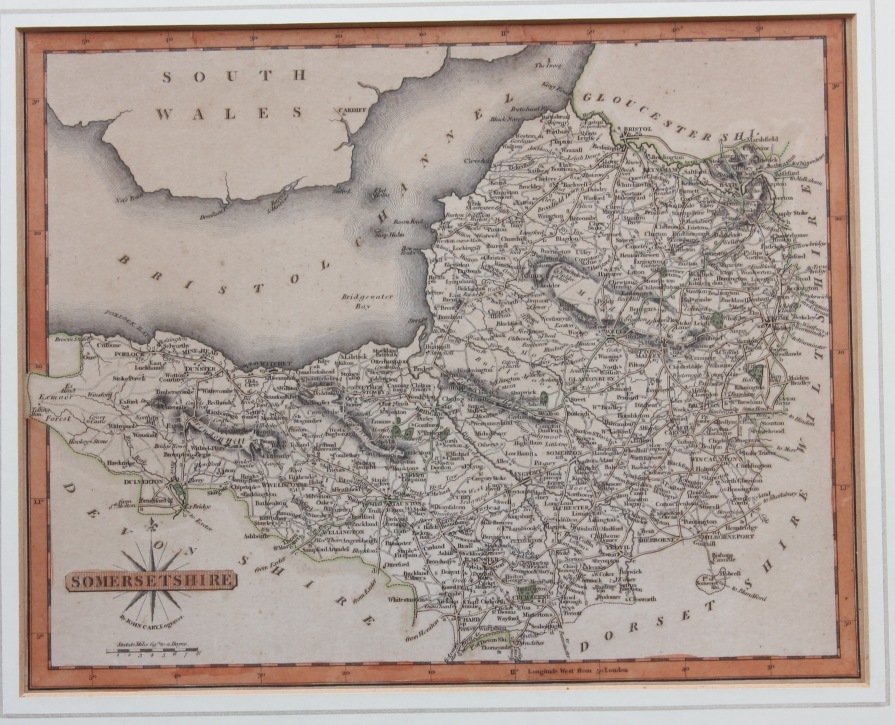
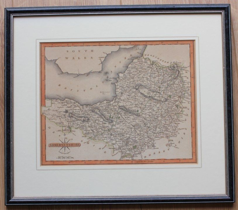
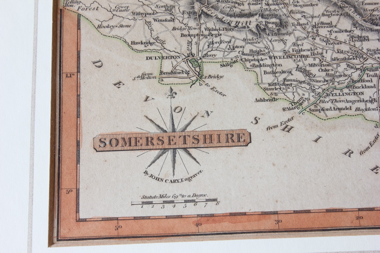
An interesting and scarce antique map of Somersetshire dates from c1793.
This genuine antique copper plate printed map was Published, Drawn and Engraved by J. Cary, Strand, London.
Includes, Bristol, Wells, Bath, Bridgewater, Glastonbury, Bristol Channel and others.
The map, which has some hand colouring, has some slight discolouration/staining and foxing. Please see pictures.
Framed, glazed and ready to hang.
Frame size: 39 cm x 34 cm
Printed area: 27 cm x 21cm
Free UK Delivery
Allow 1 - 2 working days for delivery. Express delivery can be arranged.
Can be shipped worldwide. Please contact us for a quote.