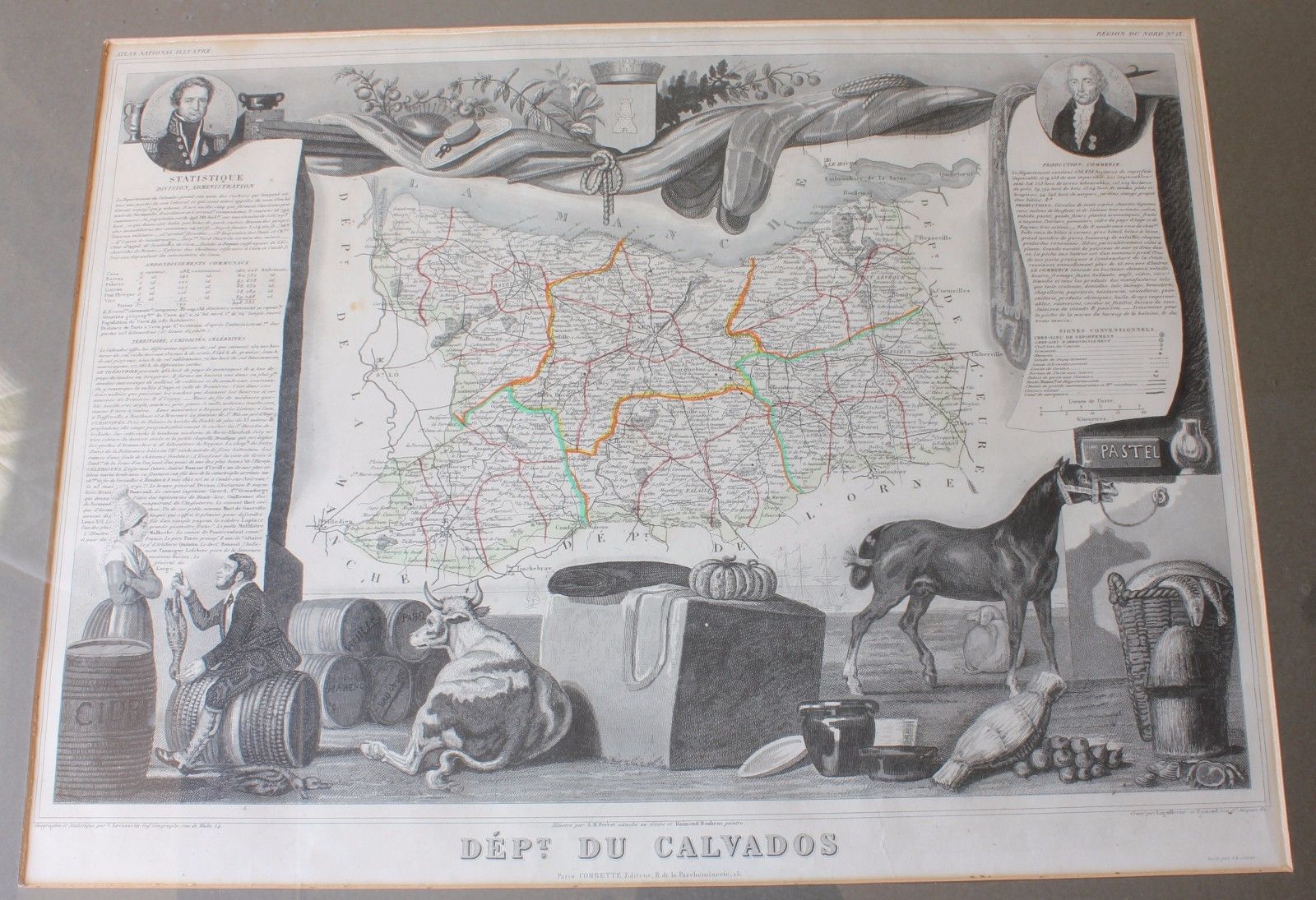
French Map of Dept du Calvados France. Atlas National Illustre c1854.
£100.00
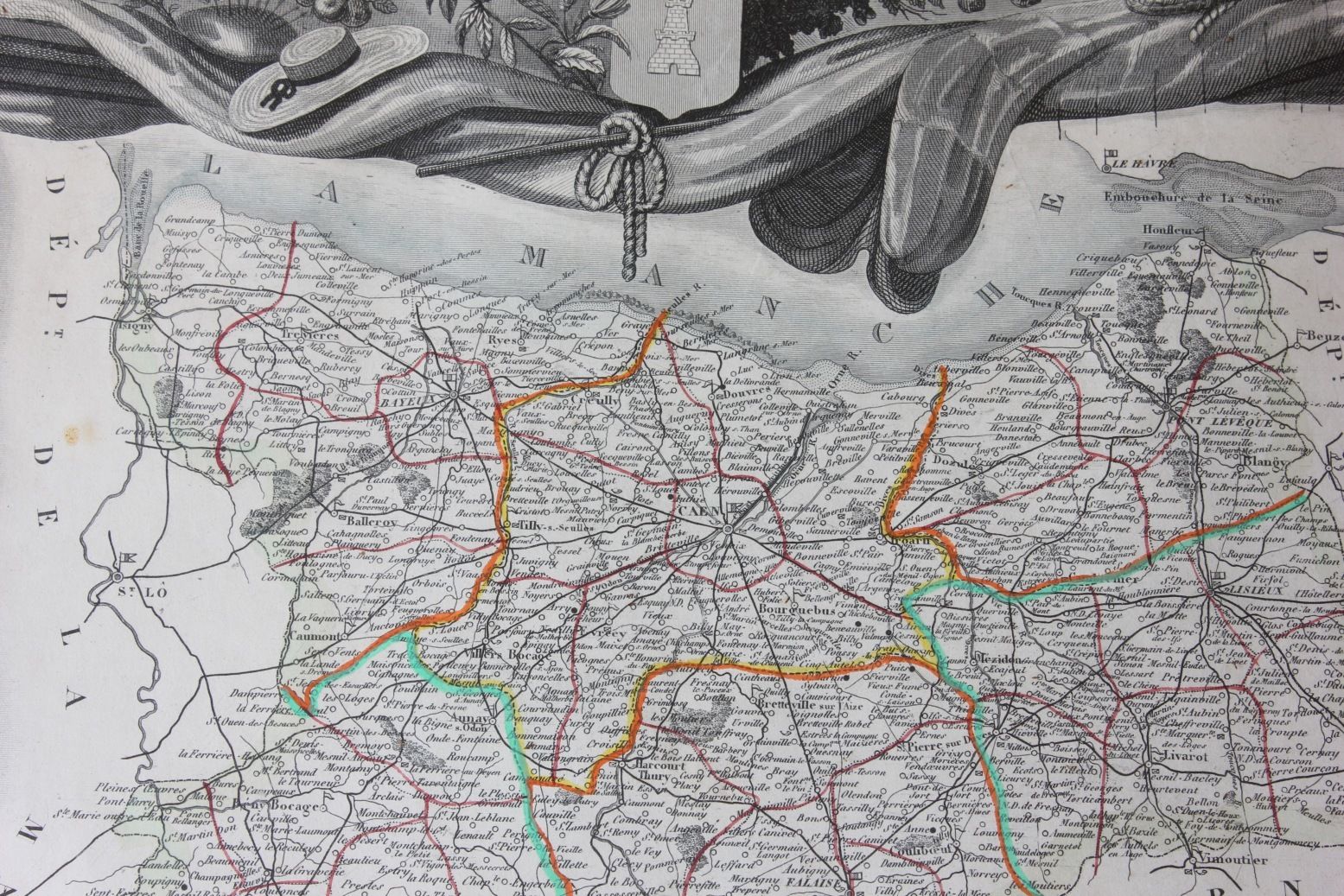
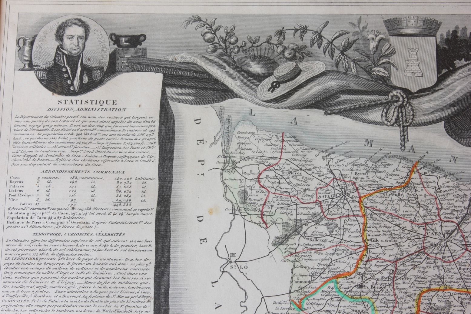
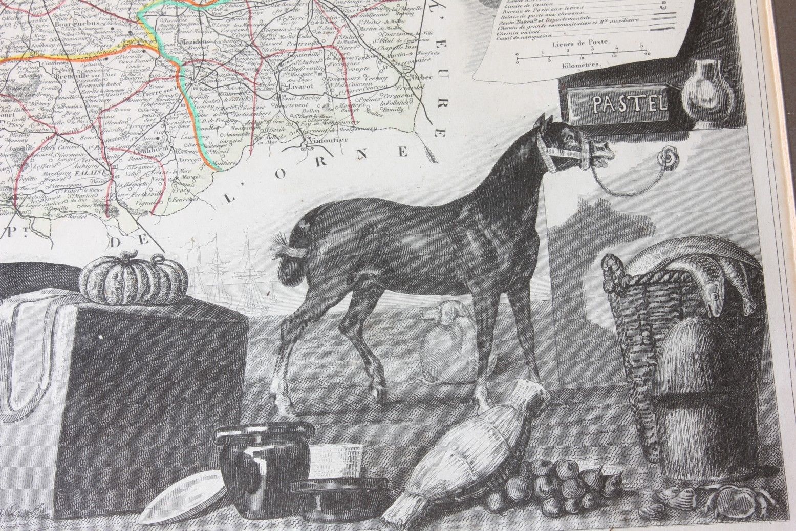
This genuine and interesting antique map of the French region of Calvados (Dept du Calvados) with original hand colouring is by Victor Levasseur and is from the Atlas National Illustre which was published in Paris in c1854.
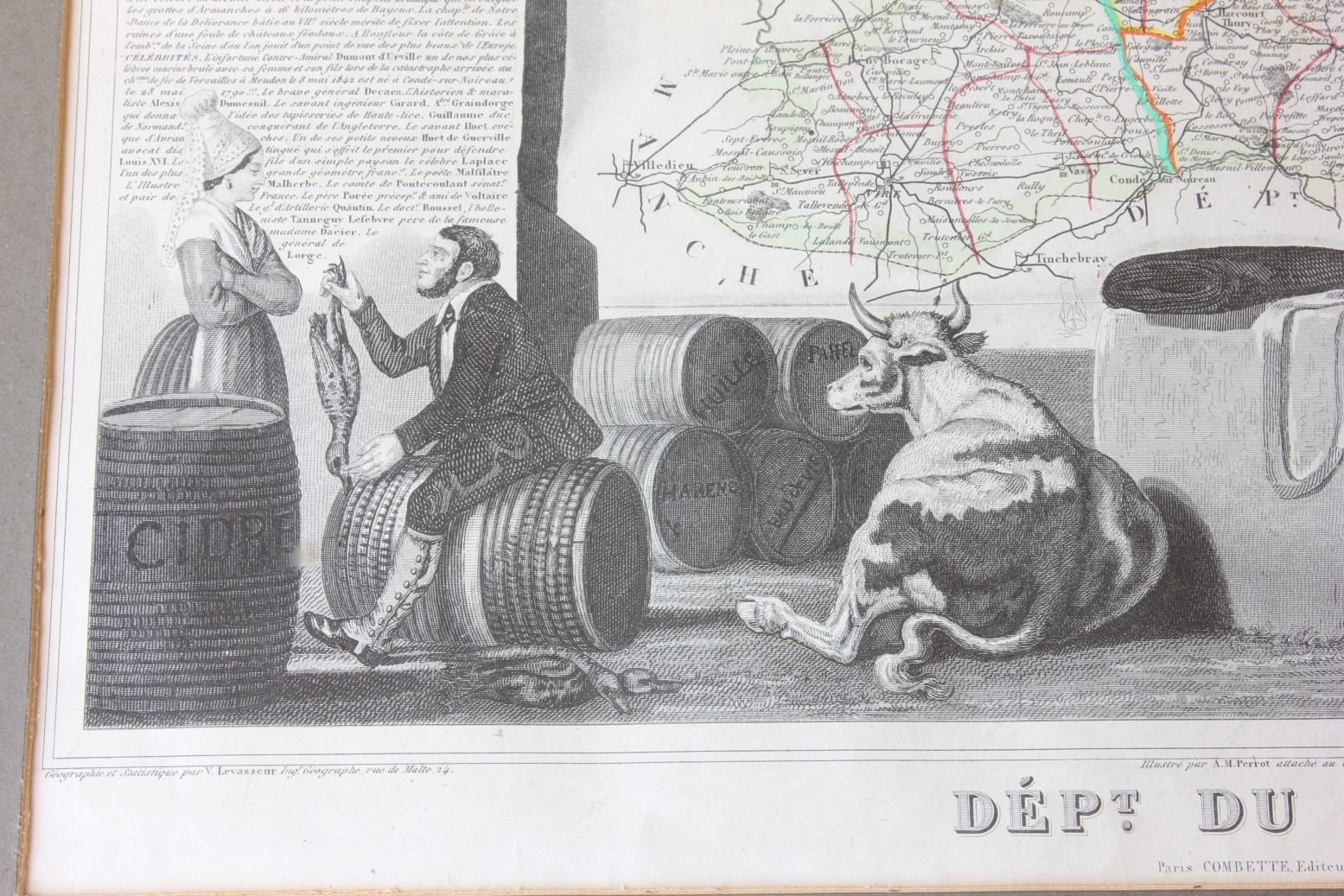
This unusual map is wonderfully decorated and depicts the French department of Calvados, France. This area of France is known for the production of Calvados apple brandy. Surrounding the map are very ornate illustrations that show flora and fauna as well as various products grown or manufactured in the area.
An unusual, handsome and very informative map.
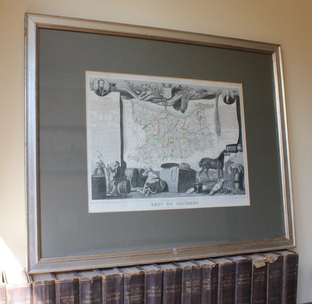
Frame size: 66 cm (26") x 54 cm (21") approx.
Printed area: 40 cm (16") x 30 cm (12") approx.
Date: c1854.
Condition: Scarce Genuine Antique map, some slight discolouration/staining and foxing. Slight creasing. Please see pictures. Framed, glazed and ready to hang.
Free UK Delivery
Allow 3 - 5 working days for delivery. Express delivery can be arranged.
Can be shipped worldwide. Please contact us for a quote.